Zoning applications — whether variance requests, conditional use permits, design review submissions, or general plan amendments — require a fundamentally different kind of visualization than marketing renders. The audience is a planning commissioner, a zoning board, a city council member, or a community member at a public hearing. They are not evaluating whether they want to buy or rent the project. They are evaluating whether the project is appropriate for the neighborhood, consistent with the design guidelines, and worthy of approval.
I've produced renders for planning applications across the full spectrum of California's approval processes, from ministerial ADU permits to full CEQA environmental review. The consistent lesson is that visualization that works for marketing will often actively hurt a planning application — and that the specific render requirements for approval processes are different enough that they warrant a separate planning-focused brief.
Why Zoning Renders Differ from Marketing Renders
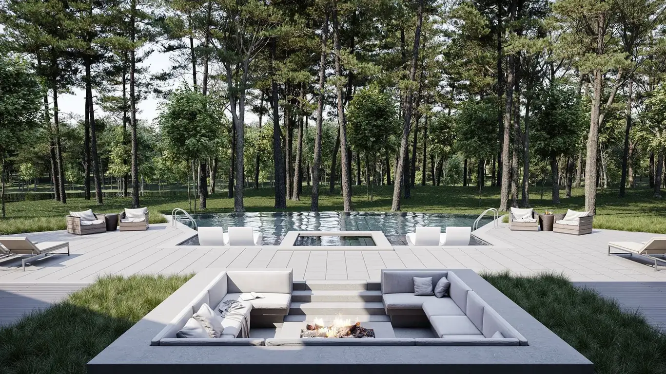
Marketing renders are optimized to make the project look as compelling and desirable as possible. They use golden-hour or dusk lighting, idealized landscaping, active human figures, and camera angles chosen to show the building at its most attractive. These qualities are appropriate for selling units or attracting investors. They are counterproductive when the audience is a planning board.
Planning commissioners and community members at design review hearings approach renders with skepticism. They know that marketing imagery is produced to put the project in its best light. When a render looks like it's been optimized to impress rather than inform, it creates resistance rather than confidence. The planning commission's job is to evaluate the project's impact on the neighborhood, and they respond better to renders that look like honest visualizations than to images that feel like advertising.
The practical implications: zoning application renders should use midday or soft overcast daylight rather than golden-hour or dusk lighting; they should show the existing context accurately rather than replacing neighboring buildings with idealized neighbors; and the camera angles should be chosen based on what's relevant to the planning analysis (the street-level view from the pedestrian, the view from neighboring properties) rather than the most flattering perspective.
Types of Planning Renders and When You Need Them
Streetscape context render. The most commonly required planning render: the proposed building shown at street level in the context of the existing adjacent buildings. This view is used to evaluate the building's scale, massing, and material compatibility with the neighborhood. The adjacent buildings need to be accurately modeled from architectural drawings or photographs — placeholder generic neighbors defeat the purpose of the context render.
Photomontage visual simulation. A photograph of the existing site with the proposed building composited in at the correct scale and position. This is the most credible form of visual simulation for planning applications because it uses real photographic evidence of the existing conditions. Required for many CEQA visual impact analyses and Coastal Commission applications. Producing an accurate photomontage requires site photographs taken from specific, GPS-recorded camera positions with documented lens and height settings.
Shadow or solar impact study. For projects where the proposed building's shading impact on adjacent properties or public spaces is a planning concern, shadow diagrams showing the building's shadow cast at the equinox and solstice at specified times of day are often required. These are produced from the 3D model and show the shadow footprint on an accurate site plan.
Massing model views. For early-stage design review or pre-application consultations, clean white-box or grey-box massing renders — showing only the building volume without materials or furniture — communicate scale and form without the marketing associations of a finished photorealistic render. Planning staff often prefer massing models at early design review stages because they're easier to evaluate in terms of code compliance. See our article on white-box rendering for a discussion of when massing renders are appropriate.
California-Specific Planning Requirements
California has several approval processes with specific visualization requirements that architects and developers working in the state need to understand.
CEQA visual impact analysis. Projects requiring environmental review under CEQA must include a visual impact analysis when the project is in a visually sensitive area — hillsides, coastal zones, scenic highways, or areas with designated visual resources. The standard methodology uses photo-based visual simulations: photographs from key viewpoints, with the project composited in at accurate scale. The number of viewpoints, the photography specifications, and the quality of the simulation are all subject to review by the lead agency and can be challenged in the CEQA comment process.
Historic Preservation Overlay Zone (HPOZ) review. Los Angeles has numerous HPOZ districts where new construction and additions must be reviewed by the HPOZ Preservation Board for design compatibility. Renders showing the proposed project in the context of the historic district — with accurate neighboring building representations and period-appropriate streetscape elements — are standard for HPOZ applications.
Design review boards. Many California cities — Pasadena, Santa Monica, Beverly Hills, San Diego, and others — have mandatory design review processes for commercial and multifamily projects. Renders are typically required as part of the design review package and must meet the review board's specific visualization standards, which vary by jurisdiction.
Our article on rendering for permit applications covers the full range of California planning render requirements in detail.
How to Commission Zoning Application Renders
The brief for a zoning application render needs to specify clearly that the purpose is planning approval, not marketing. The studio needs to understand:
- The approval process — which body is reviewing, what their standards are, what specific views are required by the application checklist.
- Context accuracy requirements — whether neighboring buildings need to be accurately modeled from drawings or photographs, or whether representative context is sufficient.
- Lighting conditions — typically midday on the site's specific orientation rather than golden-hour optimization.
- Photomontage requirements — whether the render needs to be composited into a site photograph, and if so, the photography specifications for the base image.
- Submission format — the planning agency's required file format, resolution, and annotation requirements for submitted imagery.
For exterior rendering that needs to meet planning submission standards, we work with the applicant's project team to understand the specific jurisdictional requirements before production begins. This avoids revisions driven by jurisdiction-specific standards that differ from standard marketing render specifications.
Variance Applications: Showing Why the Exception Makes Sense
Zoning variance applications — requests for relief from specific code requirements such as setbacks, height limits, floor area ratios, or parking requirements — require the applicant to demonstrate that the variance is necessary, that it won't harm neighboring properties, and that it's consistent with the purpose of the underlying zoning. Visualization can support each of these findings.
For a height variance, a render showing the proposed building in context demonstrates how the additional height relates to neighboring building heights, views, and shadowing. For a setback variance, a render showing the site constraints — topography, existing structures, access requirements — can make the physical argument for why the standard setback is impractical on the specific lot. For parking reductions, a 3D floor plan showing how the parking-reduced design improves the project's ground floor activation or landscaping can support the planning finding.
Full pricing for planning application renders is available on our pricing page. Turnaround for planning application renders is typically 5–10 business days from brief receipt, depending on complexity.
Preparing a Zoning or Planning Application?
Share your project details and the jurisdiction's requirements — we'll produce renders that meet the planning board's standards.
Request Planning Renders