HomeServicesPortfolioPricingAboutBlogContact Request a Quote

Aerial Rendering Services

Stunning bird's-eye and drone-perspective renders that communicate scale, context, and vision for large developments.

Aerial 3D Rendering

Show the Full Scale of
Your Development from Above

When a single street-level view isn't enough, aerial renders provide the perspective that matters most for large-scale projects — the relationship between buildings, landscaping, roads, amenities, and the surrounding context.

Aerial renders are essential for master-planned communities, multi-building developments, campus projects, and any project where the site plan is as important as the architecture itself.

Bird's-eye (straight down) views

Drone-angle (45°) perspective views

Integration with real satellite imagery

Full landscaping, roads, and amenities

Day and dusk lighting variations

Master plans, single buildings, and multi-site projects

Get a Free Estimate
Aerial 3D rendering community
Aerial rendering recreation zone
Aerial rendering high rise
Typical Applications

When Aerial Rendering
Is the Right Choice

Master-Planned Communities

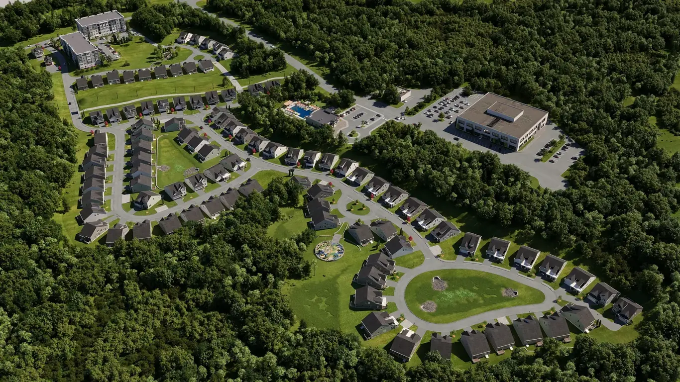
Show the complete site plan — residential zones, amenities, green spaces, road networks — in one coherent image that tells the full story.

Multi-Building Developments

Illustrate how multiple buildings relate to each other and to the site — parking, pedestrian pathways, shared spaces, and building arrangement.

Investor & Board Presentations

Aerial renders communicate scale and ambition in a way no ground-level view can. They're the hero image for investment decks, board presentations, and planning submissions.
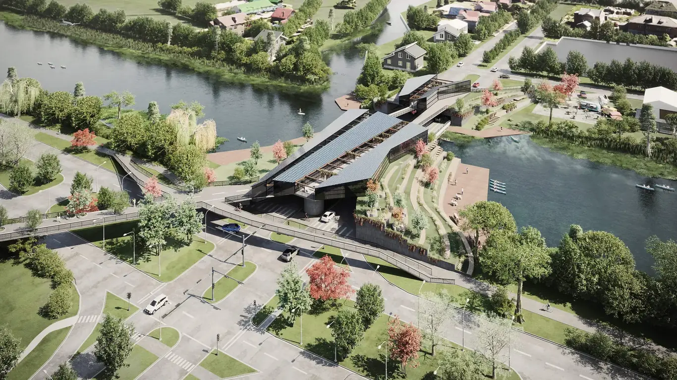
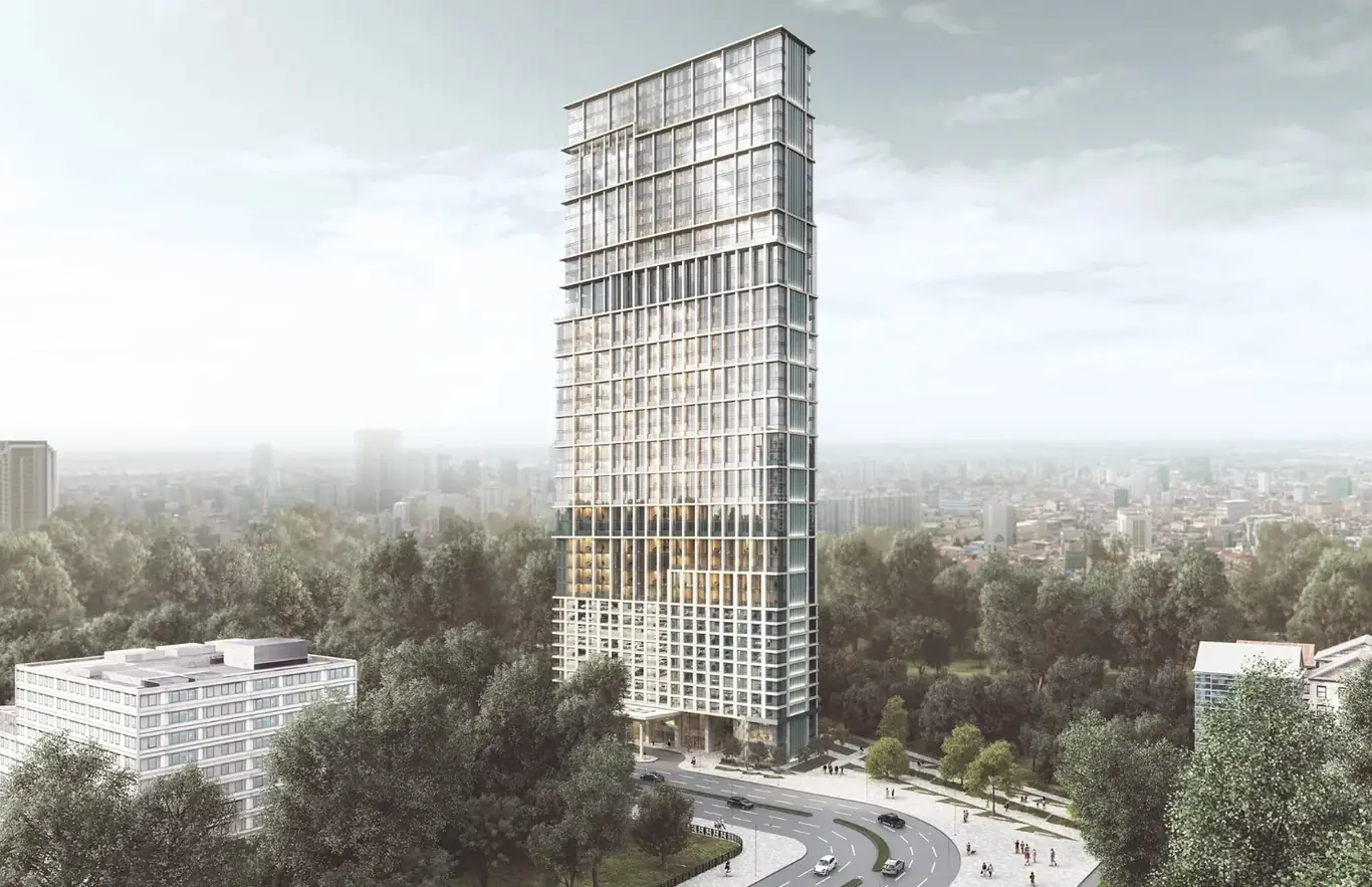
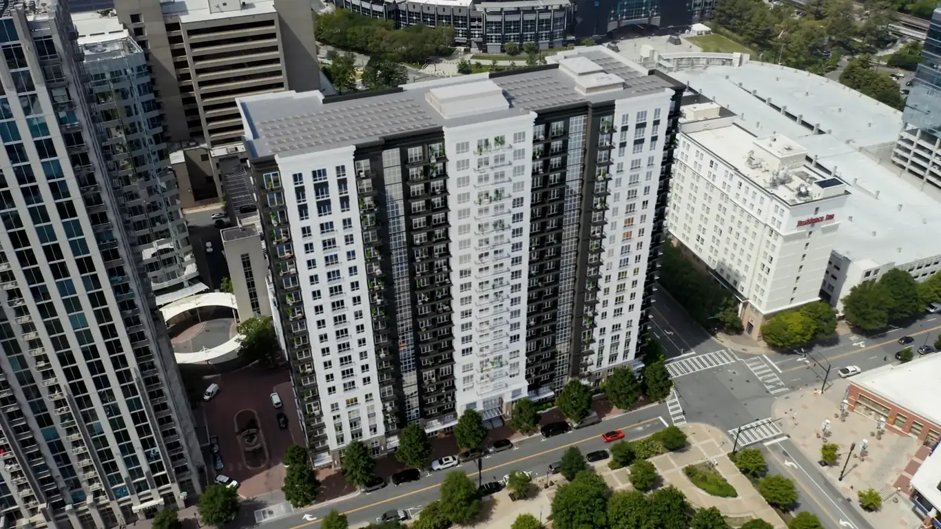
FAQ

Aerial 3D Rendering — Common Questions

What is aerial rendering?
Aerial rendering is a photorealistic bird's-eye view of a building, development site, or master plan — created digitally from architectural drawings before anything is built. It shows a project in the context of its surroundings: streets, neighboring buildings, landscaping, and terrain. It's the standard visualization tool for presenting large-scale developments to investors, planning boards, and the public.
What is the difference between aerial rendering and drone photography?
Drone photography captures a real, existing site using a physical drone. Aerial rendering creates a photorealistic aerial view of a project that doesn't exist yet — from your site plans and architectural drawings. Use aerial rendering for pre-construction presentations, planning submissions, and investment pitches. Use drone photography once the project is built to document the finished result.
How much does aerial rendering cost?
Aerial rendering costs $799–$2,000+ per view depending on site size, complexity of the surrounding context, number of buildings, and landscaping detail. Master plan visualizations with large sites, multiple structures, and detailed terrain can run higher. We provide a fixed quote after reviewing your site plan — no hourly surprises.
When should I use aerial rendering instead of a standard elevation render?
Use aerial rendering when site context, massing, or the relationship between multiple buildings matters. It's essential for mixed-use developments, master plans, large residential communities, and any project where planners or investors need to understand how the development fits its neighborhood. Standard elevation renders show a single facade well; aerial views show the whole picture.
Can aerial renders be used for planning and permit submissions?
Yes. Many planning departments require aerial context views for large-scale projects, particularly for environmental impact reports, design review board submissions, and general plan amendments. We produce renders at the resolution and viewpoint specifications required by local planning agencies, and can include photomontage composites that overlay the proposed development on actual site photography.
What files do I need to provide for aerial rendering?
We need a site plan with dimensions and orientation, building footprints with floor counts or height information, exterior elevations for each building, and any landscaping or hardscape plans. Existing aerial photography or satellite imagery of the site helps us model the surrounding context accurately. We can work from CAD, PDF, or SketchUp/Revit files.
From the Blog

Related Articles

Ready to See Your Site from Above?

Send us your site plans and we'll build your aerial render — with a price estimate within 2 hours.

Request a Free Estimate